Lima, Lima, Peru
Suggest Place to Visit
3013
Track to location with GPS |
 |
As required by Spanish custom, when founding the City of the Kings Francisco Pizarro drew a wide quadrilateral and erected the main square over a set of pre-Hispanic temples and palaces that belonged to the curaca Taulichusco. It was the reference point to delineate the layout of the city.
In its surroundings he built his house, which with the passing of time became the Government Palace, and ordered the construction of the first Cathedral church. Later the buildings of the Cabildo (today the municipal building) and the Archbishop's Palace were erected. In the center he placed a gallows or pillory for executions. It was a true symbol of justice and the power of the Spanish crown.
In the year 1564 the first water basin was installed. It was made of solid rock and remained in the center of the square until 1651. That year the viceroy Don García Sarmiento de Sotomayor, Count of Salvatierra, ordered the construction of a bronze fountain. The work was made by the Lima foundry Antonio de Rivas, in just eight months, but the beautiful design was due to Don Pedro Noguera.
The water ran for the first time through the mouths of lions and dolphins on September 8, 1651. The fountain was crowned with a statue of Fame in the center, with a bugle in the left hand, in the right the arms of the city and king, and a flag. The trace or plan became rectilinear, forming almost a dodecagon, with six alternate curved sides, eight groups or pipes with sculptures of lions and dragons with water pythons. The cup contains forty-two reliefs of vases with flowers.
The fountain provided water to the inhabitants of the city. This was carried by aguateros, who were also the first firefighters in the colonial city. The archaeological excavations carried out in 1996 discovered the pipes that fed the mentioned pool.
In the early years of the colony, the barracks were on one side and various military exercises were carried out in the square. This Spanish custom called its squares Plaza Mayor. In addition, due to the presence of the Cathedral, the Plaza was the center of the religious festivities of the Spanish. And at the time of the Court of the Holy Inquisition, it was the scene of the executions ordered by the Holy Office, called Autos de Fe.
Scene of the Spanish foundation of Lima by Francisco Pizarro, it has served as a framework for some of the most important events in the history of Peru. Originally it was surrounded by small shops and businesses. It was also used as a bullring, and on the sides of the Government Palace there was the Lima market.
It was here that the Independence of Peru from the Spanish crown was proclaimed in 1821.
Address: between Junín, Huallaga, Unión and Carabaya shreds. Four blocks from Av. Tacna and just over a block from the Rímac River.
The square has had successive modifications, destructions and reconstructions. In that course it has lost part of its initial area. The first important arrangement and beautification was made in 1856, during the government of Castile. In 1875 there were water pylons in each corner of the plaza; it was renovated in 1901; and in 1930 it exhibited numerous palm trees. The 1970 remodel reduced the plaza to its current size.
The last modification was made in 1996. The concrete sidewalks were replaced by a paving of black and gray rock slabs. Red flowers adorn the gardens, which contrast with the marble benches. The bronze sink, with the little angel, looks restored. And lampposts with ornamental posts illuminate those who walk through the square at night.
The traveler who visits the Historic Center of Lima will have the opportunity to stroll through its beautiful square, and appreciate at noon, in the courtyard of the Government Palace, the military ceremony of the changing of the guard.
Always in activity and frequented by picturesque characters from the city, around the Plaza there is a service of beautiful colonial carts pulled by majestic Cossack horses that offer the people of Lima and the diligent traveler a walk through the surroundings.
A wonderful view: from the old alley of Petateros, today Pasaje Olaya, where the humble fisherman from Chorilla José Olaya was shot by the royalist forces before he betrayed the conspiratorial patriots, there is an unparalleled view of the Plaza Mayor: you can see the Government Palace, and behind, imposing, the San Cristóbal hill. You can't stop photographing that view.
Comments
We don´t have yet any comments about:
Lima main square
Lima main square
Be the first to leave a comment as it is very important to inform other people
Outros locais a visitar
Within a radius of 20 km from:Lima main square
Lima - City Tour |
| 0,0 Km |
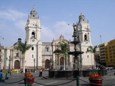 |
Basilica Cathedral of Lima |
| 0,1 Km |
 |
House of Oidor |
| 0,1 Km |
 |
Casa Aliaga |
| 0,1 Km |
 |
Government Palace of Peru |
| 0,1 Km |
 |
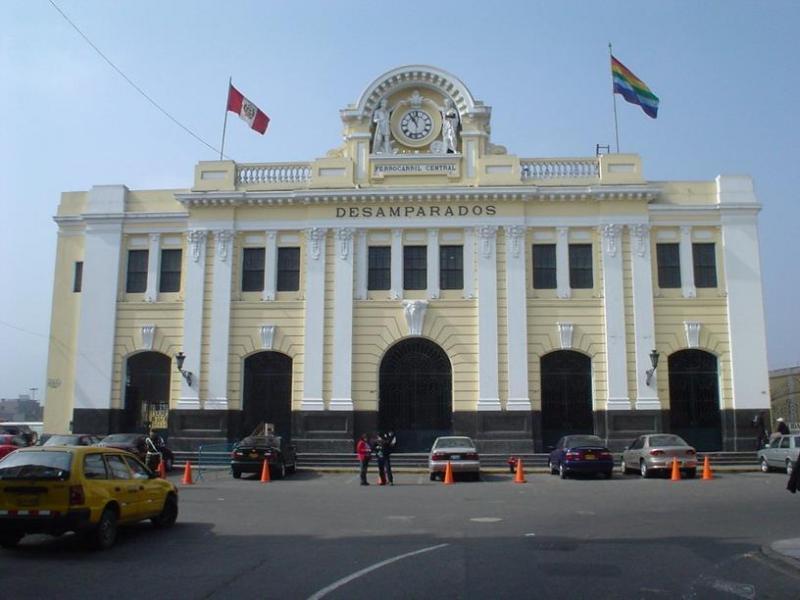
Desamparados Station |
| 0,2 Km |
 |
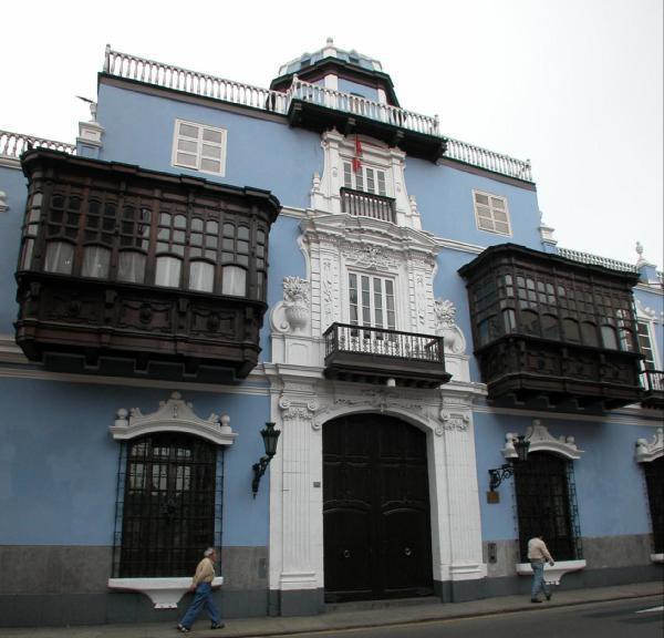
Casa Oquendo o Palacio Osambela |
| 0,3 Km |
 |
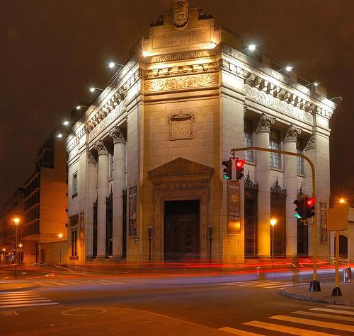
Central Reserve Bank Museum |
| 0,3 Km |
 |
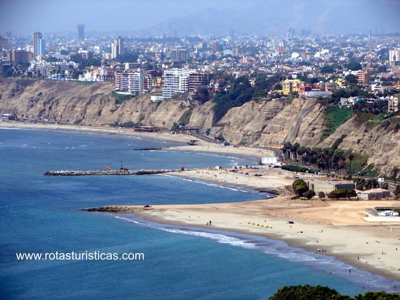
Lima City (Peru) |
| 0,3 Km |
 |
Santo Domingo Church and Convent |
| 0,3 Km |
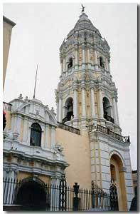 |
Rimac Stone Bridge |
| 0,3 Km |
 |
Palacio de Torre Tagle |
| 0,3 Km |
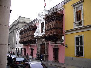 |
Basilica and Convent of St. Francis of Lima |
| 0,3 Km |
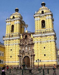 |
Church and Convent of Our Lady of Mercy |
| 0,4 Km |
 |
Museo Banco Wiese |
| 0,4 Km |
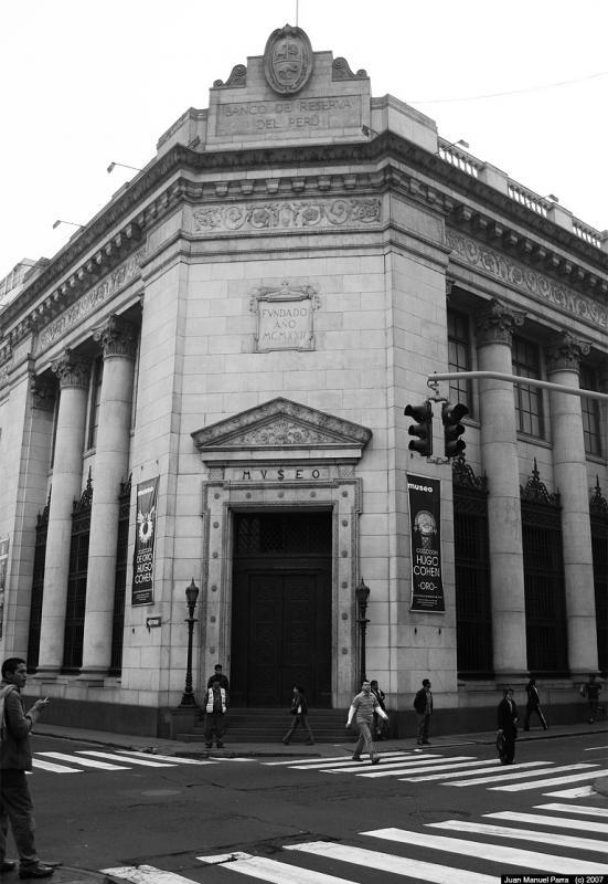 |
Parque de la Muralla |
| 0,5 Km |
 |
Museum of the Court of the Holy Inquisition and Congress |
| 0,5 Km |
 |
National School of Fine Arts |
| 0,7 Km |
 |
Church of the Nazarenas |
| 0,8 Km |
 |
San Martin Square |
| 0,8 Km |
 |
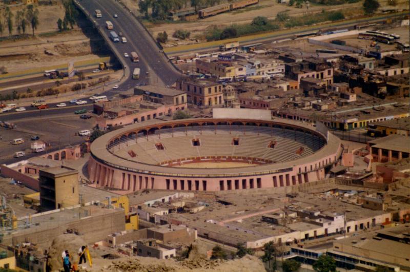
Toros Square of I think |
| 0,9 Km |
 |
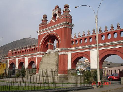
Water Walk |
| 0,9 Km |
 |
Casona de San Marcos |
| 1,0 Km |
 |
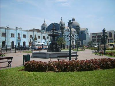
Plaza Italia |
| 1,0 Km |
 |
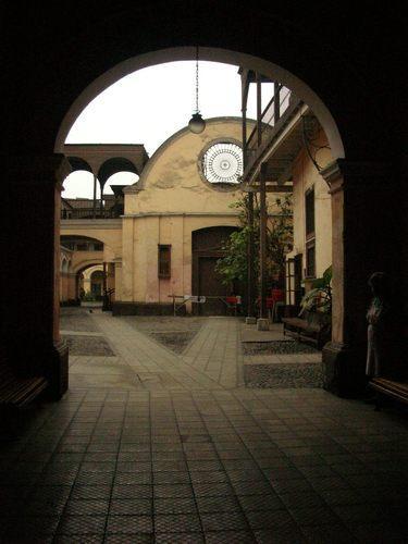
Ruiz Dávila Hospice |
| 1,0 Km |
 |
House 13 Coins |
| 1,1 Km |
 |
Quinta de Presa |
| 1,2 Km |
 |
Alameda de los Descalzos |
| 1,2 Km |
 |
Peruvian Culture Museum |
| 1,4 Km |
 |
Barefoot Convent Museum |
| 1,5 Km |
 |
Canevaro House |
| 1,5 Km |
 |
Parque de la Exposición |
| 1,9 Km |
 |
Circuito Mágico del Agua - Parque de la Reserva - Lima Perú |
| 2,7 Km |
 |
Huaca Mateo Salado |
| 4,1 Km |
 |
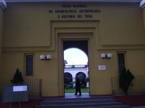
National Museum of Anthropology, Archeology and History. |
| 4,9 Km |
 |
La Taberna Queirolo |
| 5,0 Km |
 |
Rafael Larco Herrera Archaeological Museum |
| 5,3 Km |
 |
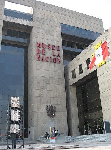
National museum |
| 5,5 Km |
 |
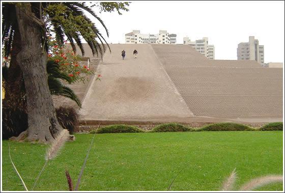
Huaca Huallamarca |
| 5,8 Km |
 |
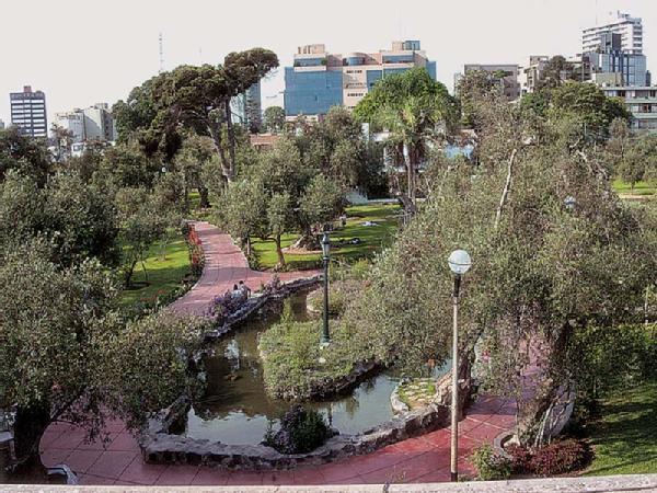
Olive grove of San Isidro |
| 6,2 Km |
 |
Leyendas Park |
| 6,5 Km |
 |
Huaca Pucllana |
| 7,3 Km |
 |
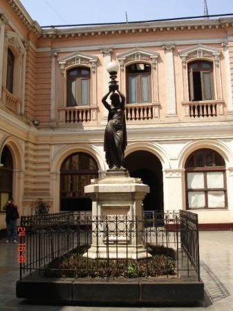
Amano Museum |
| 7,7 Km |
 |
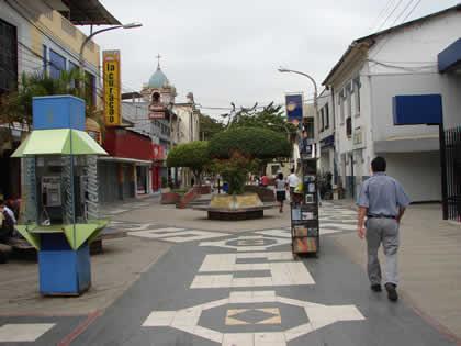
Paseo los Libertadores |
| 7,8 Km |
 |
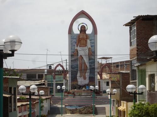
Jerusalem walk |
| 9,1 Km |
 |
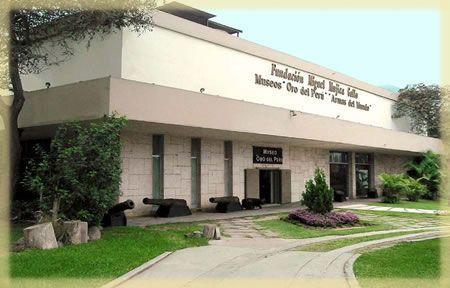
Gold Museum of Peru and Arms of the World |
| 9,6 Km |
 |
Oquendo Archaeological Ensemble |
| 10,5 Km |
 |
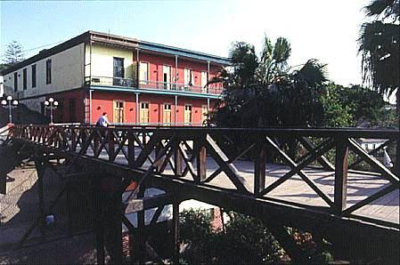
Barranco, el Distrito Bohemio |
| 10,8 Km |
 |
Friendship Park |
| 10,9 Km |
 |
Bridge of Sighs |
| 11,5 Km |
 |
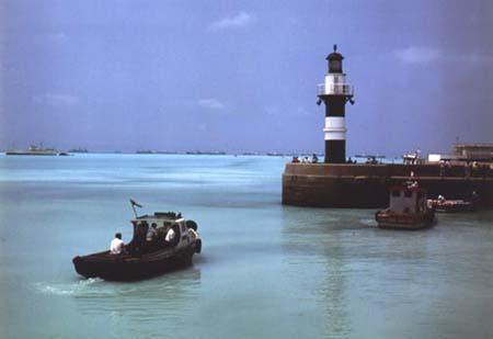
Port of Callao |
| 12,0 Km |
 |
Ermita del Padre Villalta - Barranco |
| 12,1 Km |
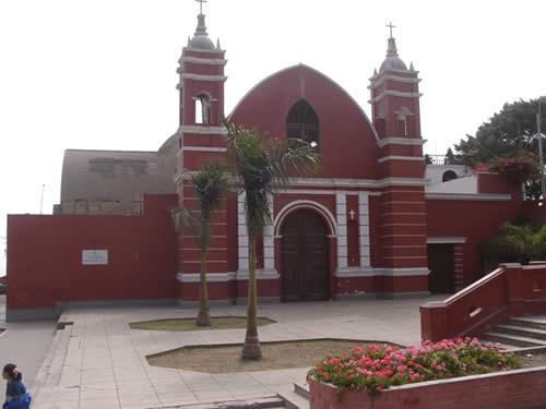 |
Mother Church or Cathedral of Callao |
| 12,6 Km |
 |
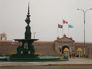
Fortaleza Real Felipe |
| 13,0 Km |
 |
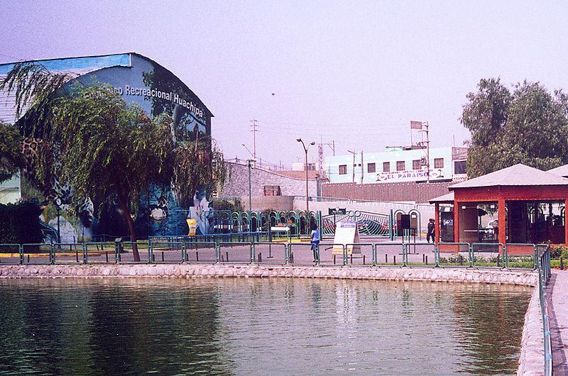
Huachipa Recreational Ecological Center |
| 13,5 Km |
 |
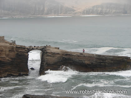
El Salto del Fraile (Lima) |
| 13,6 Km |
 |
Cajamarquilla |
| 14,2 Km |
 |
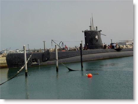
Abtao Submarine Naval Site Museum |
| 14,9 Km |
 |
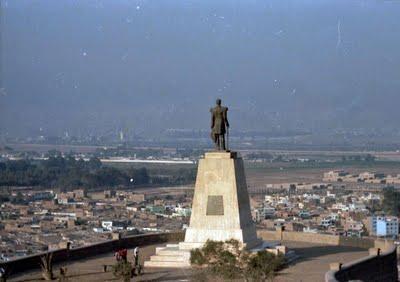
Morro Solar |
| 17,3 Km |
 |
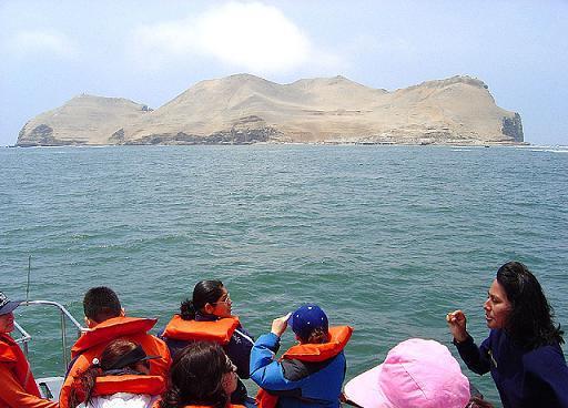
Fronton Island |
| 18,3 Km |
 |
Refugio de Vida Silvestre Pantanos de Villa |
| 19,2 Km |
 |
Villa swamps |
| 19,2 Km |
 |
Hotel reservation near Lima main square within a radius of 20 km
Why to book with BOOK HOTEL OPORTO
The best prices
Our partnerships with the world´s largest operators offer research on the best market prices.
More options
At Rotas Turisticos you can book the hotel, buy the air ticket, book the transfer from the airport to the hotel and vice versa, book the local excursions, rent the car, take travel insurance and consult the places to visit and where to go.
Holiday Tips & Destinations
Hundreds of holiday destinations with all the options that allow you to easily choose the destination that best suits your dream vacation.
BOOK HOTEL OPORTO
Links


